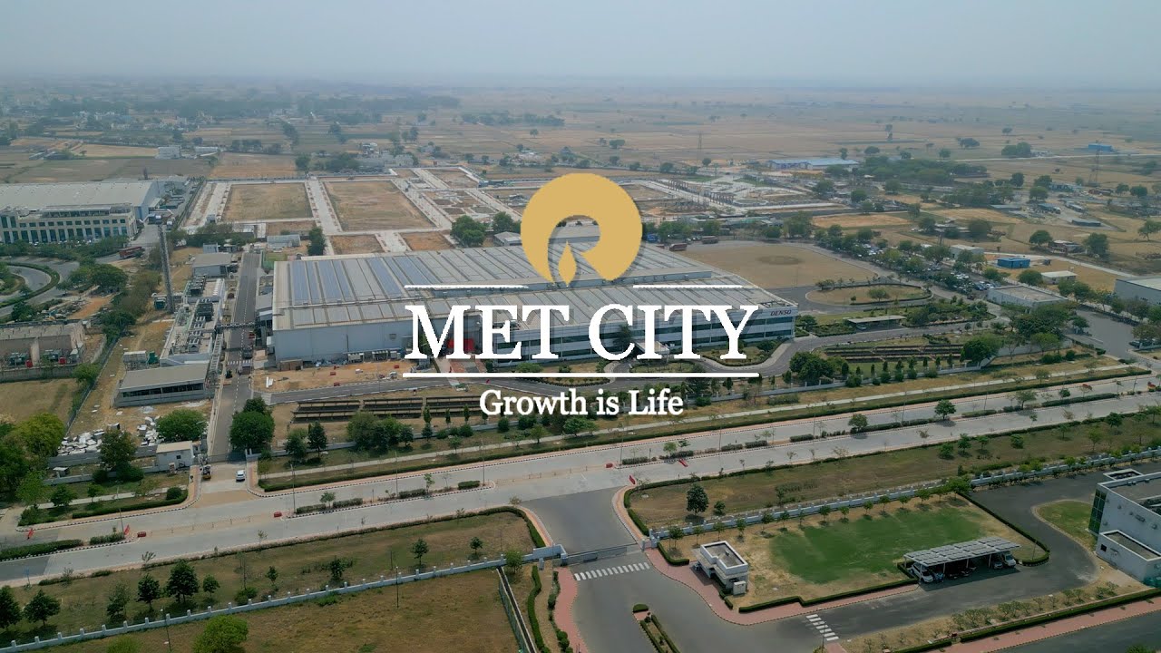
Location & township layout
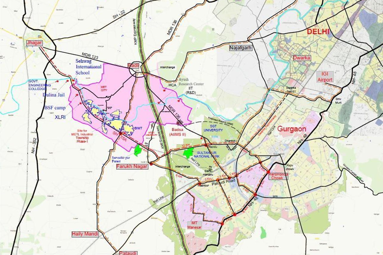
On the KMP Expressway, at the centre of NCR's next growth arc
MET City spans 8,250 acres across Jhajjar district in Haryana, with frontage on State Highway-15A and direct KMP Expressway access — the junction where Gurugram, Manesar, Kharkhoda and Sonipat meet.
Drive times
Everything that matters, inside half an hour
Township layout
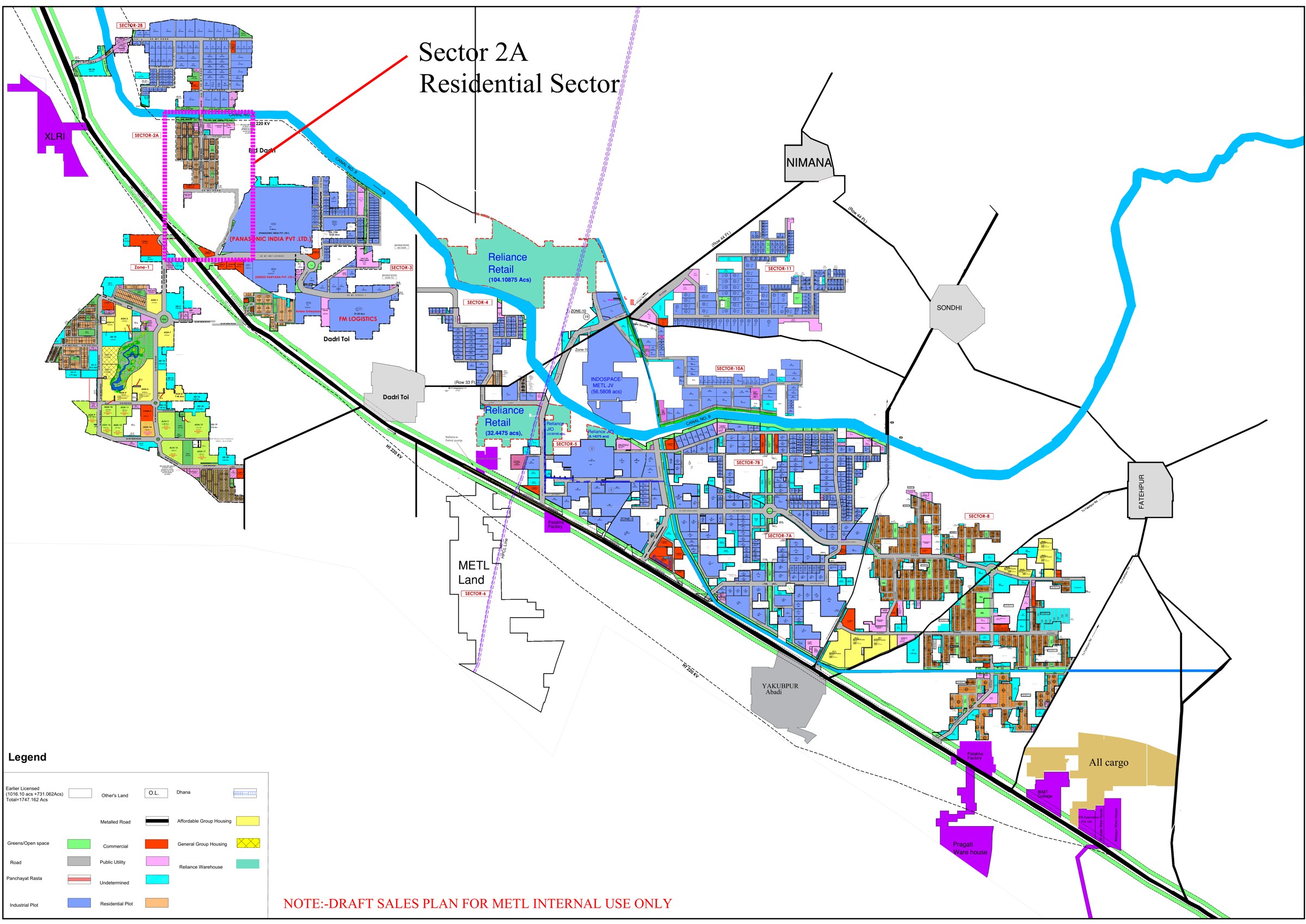
The MET City sector plan
Residential sectors, industrial zones, commercial pockets, warehousing and group housing — how the 8,250 acres are organised. Zoom in to see individual sectors, canals, arterial roads and anchor occupiers.
Scroll, pinch or use + / − to zoom · drag to pan · 100%
Indicative township layout. Sector-level and pocket-level maps for specific plots are shared by our sales desk on request.
- Residential sectors: Sector 2A, 2B, 5, 7A/7B, 8, 10A and 11, plus MET Habitat low-density pockets.
- Industrial zones: serviced parcels around the Japanese Industrial Township and logistics belt.
- Anchor occupiers on plan: Panasonic, Denso, FM Logistic, Reliance Retail, Reliance Jio, Indospace.
- Green & civic: canal corridors, green belts, public utilities and commercial high streets.
The neighbourhood
What surrounds the township
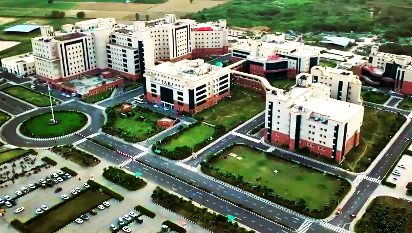
AIIMS Badsa
300+ acre operational super-specialty campus.
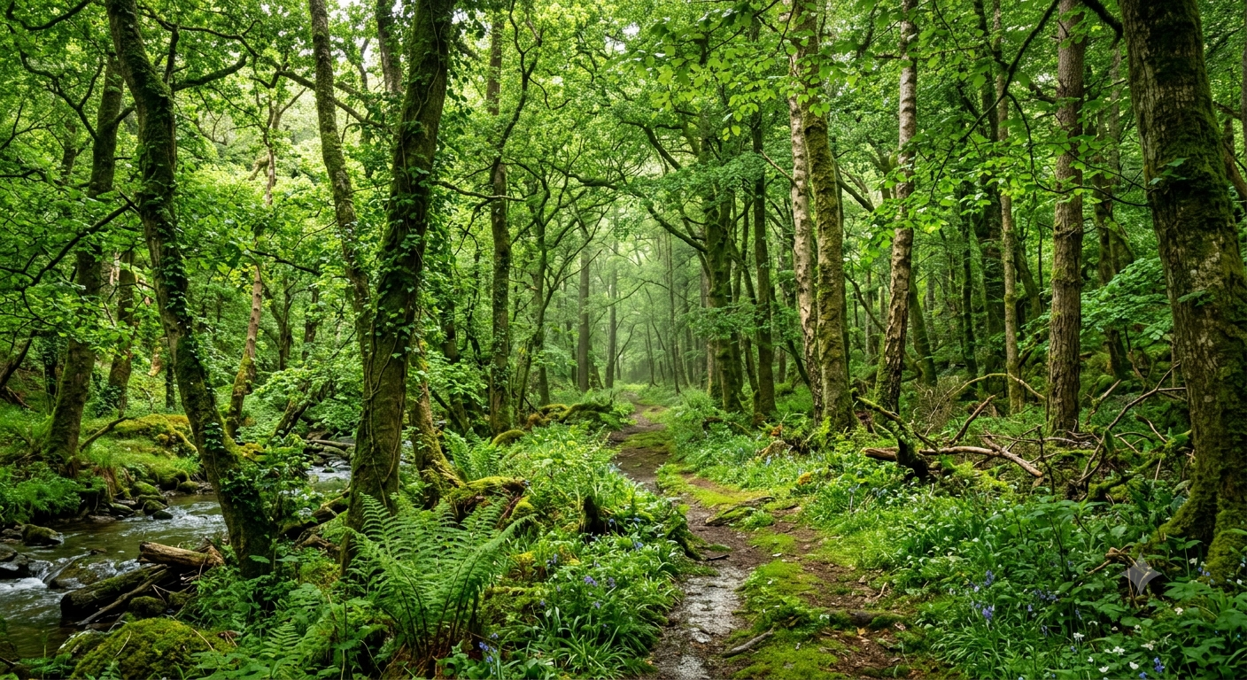
Sarbasirpur forest
A permanent green barrier for air quality.

Sultanpur Bird Sanctuary
375-acre eco-reserve, 15 minutes away.
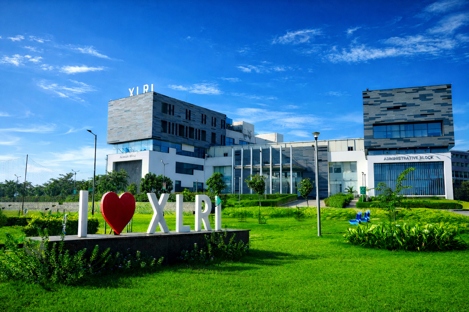
XLRI Delhi-NCR
Part of a ready academic belt around MET City.
Plot-level maps
Ask for the sector and pocket map you need
Tell us the format you are considering and we will share the exact sector plan, plot numbers and availability.